 |
 |
 |
|
 |
 |
|
 |
|
|
|
 |
|
|
|
Open Field System
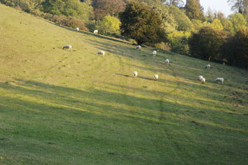
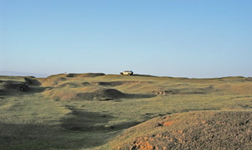
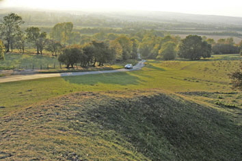
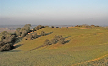
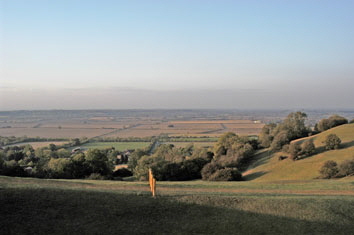
Looking down from Harts Hill in the direction of Fox Covert (and also evident in much of the surrounding countryside) the land lies in long, shallow ridges which preserve to this day remains of the Medieval Open Field system of agriculture.
The Country Park takes its name from the now tiny village of Burton Dassett, located within it, which was once a larger community that began to spread down the hills to the villages of Northend and Southend during the 12th and 13th Centuries. By the start of the 14th Century the parish was so prosperous that its tax returns were the third highest in Warwickshire after Warwick and Coventry.
This explains why the beautiful All Saints Parish Church at the southern edge of the Country Park (and now with no more than a small cluster of dwellings within easy reach) is so large and magnificent that it is known locally as the Cathedral on the Hills. It has remained largely untouched since the 14th Century (but parts of it date from the 12th Century) and has recently-restored medieval wall paintings and stone carvings of animals and mythical dragons which make it all the more worthy of a visit.
|
|
|
|
 |
|
|
|
 |
|
|
|
Windmills
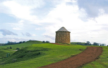
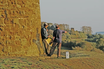
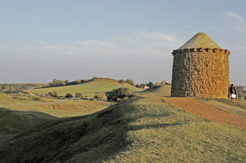
Along with quarrying, wheat was grown in the surrounding countryside and the top of the windy Burton Dassett Hills was the ideal place for a windmill. Some say the Beacon, which is the focal point of the hilly landscape, is the bottom half of a long destroyed windmill. Others say the Beacon was a warrener’s lodge and yet others say it was built as one of a series of beacon towers that were used to pass signals across the country. If this last theory is correct (and it does seem the most likely) it would have originally been surmounted by a pole with a fire basket on top which, when lit, would have been visible from the next beacon in the chain. All that is really known is that the structure, which had two doorways and two windows before it was filled in, was probably built in the late 15th Century at the direction of the Lord of the Manor Sir Edward Belknap. It may well have been a replacement for an earlier beacon.
We do know, though, that a windmill was built right next to the Beacon. Whether this was a replacement for a ‘Beacon’ windmill we simply do not know. Neither do we know when it was built, but we do know it blew down in a storm in 1655, killing the miller, who had come up from Northend to turn the sails out of the wind. This was replaced and there was a wooden post windmill standing next to the Beacon right into the middle of the 20th Century, until it was destroyed in a storm in 1946. The pathway down from the Country Park to the junction of Pear Trees and Malthouse Lane in the village of Northend is to this day known as Mill Lane and this was the route taken by horse-drawn carts taking wheat to be milled and bringing it back again.
|
|
|
|
 |
|
|
|
 |
|
|
|
Other Claims to Fame
There are claims to fame of a different kind, too. The Burton Dassett Hills and All-Saints Church were used as a location in the Tom Selleck 1990 film Three Men and a Little Lady. Burton Dassett was also the birthplace of Sir Thomas Temple and for several generations regarded by the Temple family of Stowe, Buckinghamshire, as their ancestral home. There is a heraldic memorial to John Temple and his children in All-Saints Church. This contains twelve shields which represent John Temple’s children. Eleven of the shields are divided, with the left half of each representing the husband and the right half representing the wife. The twelfth shield is undivided and represents John Temple’s son George, who died young and, therefore, did not marry. Burton Dassett’s final claim to fame is that Susannah Smith, the wife of agriculturalist Jethro Tull, was also born in the village.
|
|
|
|
|
|
|
 |
|
|
 |
 |
 |
 |
 |
 |
 |
 |
|
Burton Dassett
Country Park
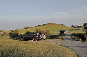
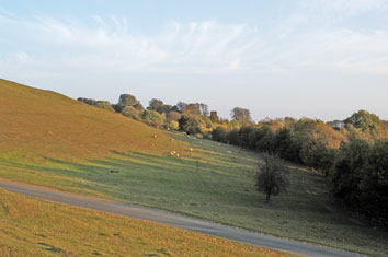
Providing extensive views over unspoilt rolling countryside, the Burton Dassett Hills became a Country Park run by Warwickshire County Council in 1971.
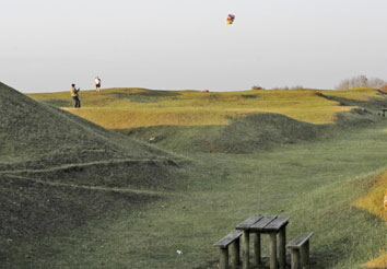
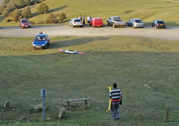
Covering 100 acres of ironstone hills the Park is a former quarry site nowadays used for sheep grazing and leisure activities including walking, picnics, kite flying, radio-controlled model glider flying, geocaching, motor hillclimb and more. It is steeped in a history reflecting the lives of the people who lived there.
The Country Park sub-divides into several hills and quarrying at Pleasant Hill in 1908 uncovered 35 skeletons in a Saxon graveyard from the 6th or 7th Century.
|
|
|
 |
|
|
|
 |
|
|
|
 |
|
|
|
Quarrying
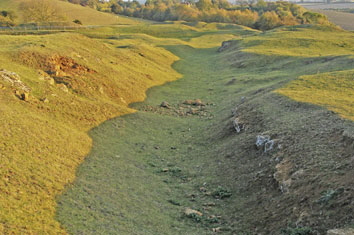
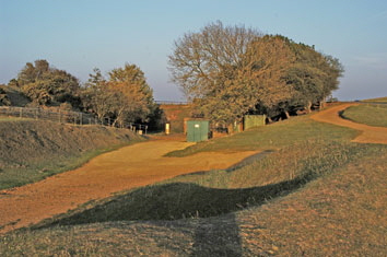
The uneven topography is the remains of quarrying which went on since early times and the attractive orangey-yellow stone is evident in many local houses and farm buildings. As well as being used as a building material the ironstone was quarried for smelting to produce iron. The stone was transported by pony-powered wagons along tramways from the various working faces to a central point near Gallows Hill. You can still identify two tramway routes now dissected by the road. One heads past the toilets and the other starts at the picnic area further along the road towards the Beacon. From the late 1800s the stone was transported from Gallows Hill via an aerial ropeway to a railhead on the Warwick to Banbury road. Ironstone quarrying for smelting purposes was resumed during the two world wars.
|
|
|
|
 |
|
|
|
 |
|
|
|
 |
|
|
|
The Park Now
Nowadays, the Country Park is a grassy haven for wild flowers. Because it has been used as grazing land for centuries in the traditional way, without the use of pesticides or chemical fertilisers, many species have found their homes here.
On the eastern edge of the Country Park is a delightful, peaceful and tranquil woodland walk known as Fox Covert. This quarter mile circular route along a surfaced footpath takes you through mature Norway Spruce originally planted in the 19th Century as a commercial crop and as shelter for foxes and game. In recent times, the planting of Ash, Oak, Hazel and Willow, together with Bluebells, has seen the start of a transformation into traditional broadleaf woodland. Just inside the wood is the Knightcote Spring. This small brick reservoir was originally built, using money from the Kimble Trust, to provide a piped water supply to the hamlet of Knightcote. Although no longer used for this purpose the legacy is a reservoir that is a haven for aquatic life and a beautiful stream flowing through the wood.
|
|
|
|
 |
|
|
|
 |
|
|
|
Distant Views
Towns and other features that can be seen from the Hills are described by a toposcope on Magpie Hill and on a clear day you can see the Malvern Hills forty miles away and the Clee Hills in Shropshire. Looking west you can see Edgehill, the site of the first battle of the Civil War in October 1642. The highest point of the Burton Dassett Hills is Hartshill, the top of which is 203m (666ft) above sea level.
The name Burton Dassett originates in Saxon times - Burs’ton meaning ‘Burs homestead’ and Dercett meaning ‘The home of wild beasts’.
|
|
|